Showing posts with label Green River. Show all posts

Wednesday, September 25, 2013

Labyrinth Canyon

Time for a bigass river trip through Labyrinth Canyon!  We're talking 3 days, 2 nights, 68 miles, and 1 puppy paddling through the steep, red canyon walls of the Green River.  Perfect.

The timing was perfect, too.  We're at that seasonal sweet spot between summer and fall -- temperatures are hovering in the high-70s during the day and dropping to a cozy 50 at night. The timing was also right for our 17-week old puppy, Frankie.  She's still small enough to fit in the middle of a canoe amid all our overnight gear, which probably won't be the case much longer!  She's also too small to go on big hiking trips, so this was a great way to take her a big multi-night adventure.


The flatwater trip through Labyrinth Canyon starts in Green River, UT and winds 68-miles to Mineral Bottom.  It's a seriously gorgeous trip.  The river snakes through soaring red cliffs, passes bizarre rock art, and scoots around precipitous bowknot bends. We only had 3 days to do the trip, but it would have been nice to take 4.  Half the fun of river trips is getting out of the boat to hike around, but we had to plow to cover the miles.

Our first day didn't start off too promising.  We started at Green River State Park during a heavy-duty storm -- thunder was crashing and rain was pouring.  But we pushed on and hid out under willow thickets when lightening got to close.  Honestly, the scenery isn't all that impressive on the first day, so it wasn't a big deal to cinch up our raincoats and plow.  We paddled about 20 miles before calling it a day and setting up camp on a sand bar near Ruby Ranch.

We had bluebird skies for the next two days, which was good luck because we had to cover some miles.  We paddled about 30 miles on Day 2.  It's been a really low water year and the current was noticeably slow.  But as long as we steadily paddled we could cover around 4.5 miles/hour.  We stopped at the River Register around mile XX to check out the creepy ghost-face inscription.  Frankie was a good sport, too.  She squirmed around a little bit, but eventually found her spot in the middle of the boat.  As long as we let her out every once and a while to swim and catch sticks she did just fine.


River Register
 
Frankenstein the River Monster

Camping on the second night was a little rough.  First of all, we had a tough time finding a campsite as we approached the Bowknot.  The banks were choked with tamarisks and willows, so there weren't many sandy beaches conducive to camping.  The same thing actually happened when I did this trip in 2010, but I assumed that was because it was such a high water year.  Nope -- it was tricky both times.  We ended up finding a mosquito-infested patch of dry dirt, but it was pretty miserable.  My advise -- if you're approaching the Bowknot, stop early and grab whatever patch of real-estate you can find!

On the last day, we took our time to paddle the final 18 miles.  The weather was great, and we stopped to see the Denis Julien inscription in Hell Roaring Canyon.  Hell Roaring Canyon is near river mile XX, and the inscription is about 200 yards up the canyon on the right side.  Denis Julien was a French-Canadian fur trapper in the 19th century who was the first documented white guy to navigate Cataract Canyon and the lower reached of the Green.  Neat.  Late that afternoon, we met up with our shuttle guy, Bob, who loaded up the canoe and drove us back to civilization.  Great trip.


D. Julien inscription

If you want to paddle through Labyrnith Canyon, there's some logistical BS to work through (but that's normal for a river trip, eh?)  The permit process is actually easier than most overnight river trips in the area, so it's totally worth it.  You'll need to fill out a permit ahead of time, but it's free and easy to get.  Print off the form on the BLM's website, take both copies to the put-in, leave one copy at the put-in, and take the other copy down the river with you.  After that, you'll have to figure out the shuttle.  We put in at Green River State Park and took out at Mineral Bottom.  We rented a canoe and arranged a shuttle through Moki Mac River Expeditions.  They were a little pricey, but Bob was great to work with.  If you have time, it's definitely cheaper to do your own shuttle (check out the map below,) and it takes about 3 hours to get from Green River to Mineral Bottom and back.  Mineral Bottom is a decent dirt road, but it's steeeeep and can be impassable if wet.  It's also a great idea to bring Belknap's Canyonlands River Guide along -- the waterproof pages are filled with maps containing notations and topographic contour lines.  It also shows the locations of the major features of the river, rapids, archaeological sites, etc.  It's easy to get disoriented when the river keeps taking hairpin turns -- the river guide keeps you situated!

map credit: blm.gov

Tuesday, May 28, 2013

Green River Daily

The wedding party extravaganza continues!  After a boozy BBQ Sunday night, a bunch of us woke up Monday to raft the Green River Daily.  The Green River Daily is a fun, splashy 9-mile section of river just north of town.  In general, the rapids are Class II+, although during spring run-off (flows greater than 8500 cfs) it can get pretty wild.  (Check water levels here.)  This weekend the river was at 10,200 cfs , which is definitely the highest I've ever run it!  Fun, but a little nuts.

the mighty armada


This section of river takes you through towering gray walls, past old mining cabins and some really cool rock art.  You put in at Nefertiti Rapid and immediately encounter an easy rapid -- just run it straight down the middle.  After that, relax for four miles of flat water and lazy floating.  This flatwater stretch ends at Butler Wash, and from that point on the rapids come in quick succession.  After Butler comes Sand Knoll, followed by Stone House Rapid. Stone House Rapid has large boulders to negotiate. They are easy, but be ready for a little maneuvering -- typically you want to run in the center between the boulders.  Finish up by running Short Canyon Rapid and Swasey's Rapid.  The takeout is the obvious big boat ramp on the left below this final rapid.


To get to the Green River daily, start in the town of Green River.  Take Hasting Road, on the east side of town, and drive about 9 miles north to the takeout at Swasey's boat ramp.  There's a great sandy beach here with picnic tables and cottonwood trees.  Leave a car or a bike here.  Drive another 9 miles up the sandy dirt road to Nefertit Rapid, where you'll start your float.


map credit:  utah.com

Tuesday, April 16, 2013

Jones Hole Creek

The Jones Hole Creek trail is a wonderful 8-mile (round trip) hike located in the northwest corner of Dinosaur National Monument.  Vernal is an unapologetic mining town surrounded by flat gray desert, so a vivid green trout stream is a nice, unexpected surprise.  This 2,000-foot-deep gorge runs along the border between Utah and Colorado.  The trail starts just below the Jones Hole Fish Hatchery, and meanders pleasantly along the creek for about four miles to join the Green River.  The trail is fairly flat and easy to follow.

Jones Hole Creek
fish @ Jones Hole Fish Hatchery

This lush, green oasis is teaming with plants and wildlife.  Seriously, after living in the desert for five years, I'm pretty excited by clear water and critters!  I'm the world's worst fly fisher, but even I could tell this was a great trout stream. The water was crystal-clear, and you could see trout swimming and mayflies hatching.  A herd of five bighorn sheep let me watch them graze for a while.  I also saw deer, a pair of mergansers, and a rusty-colored marmot. 


About 1.7 miles south of the trailhead, you'll see a short spur trail that heads to the base of the western cliff.  This takes you to the Deluge Shelter rock art with a really vivid elk pictograph.  A little further south, there's a 0.5 mile side trail to the Ely Creek Falls.


Deluge Shelter pictograph

Finally, after 4 miles of hiking, I reached the Green River.  I wasn't sure what to expect, but it was really impressive.  The river was surrounded by soaring 2,000 foot cliffs and actually lived up to its name and looked green, instead of the sediment-laden brown I usually see back home.  I felt a weird sense of satisfaction knowing this same water would eventually flow by my home in Green River, UT -- a 4-hour drive and 226 river miles away.  I feel an epic whitewater trip brewing ...


The Green River -- 226 miles from home.
bighorn sheep


To get to the Jones Hole Creek trail, drive east out of Vernal on 500 North Street.  When the road forks, go left and follow the signs that say Jones Hole.  Follow the paved road for another 33 miles to the Jones Hole Fish Hatchery.  The trail starts at the south end of the hatchery, about two hundred yards from the visitor parking lot.

Monday, March 4, 2013

Green River Stables horseback riding lessons

Yup, I have the coolest fiance in the history of the world.  For Christmas, Jordan got me horseback riding lessons at Green River Stables!  I've ridden horses several times before, but it's always been on quick, superficial trail rides.  Now I get to learn more about horse care, grooming, and psychology.  Sweet!


Jordan and I drove up to Green River Stables this morning for our first lesson.  It's a really comfortable, low-key place that offers trail rides, lessons, and boarding.  The stables are located right along the Green River with the Book Cliffs towering overhead -- it's definitely picturesque and quintessentially Wild West.  They don't have their own website, but they're located at 2735 North Long Street in Green River, UT and their phone is (435) 564-3554.


shedding their winter coats
We met the owner, Terry, who is really fun and down-to-earth.  She introduced us to Chester and Sooka, our horses for the day.  We groomed the horses, put on their bridles and saddles, and learned the proper way to approach and touch a horse.  For the rest of the day, we got to ride around the pen and learn the basics -- different ways to sit in the saddle, getting the horses to go left and right, stopping, and going faster.  Towards the end of the lesson, Terry tried to teach us how to trot, which was tricky.  She explained trotting is the most efficient gate for a horse, but it's kind of rough on the rider.  I've ridden a trotting horse before and it totally kicked my ass, but Terry showed us a couple different techniques and by the end we sort of got it.  It was great -- I've always really liked horses, but this gave me a whole new level of understanding.  Definitely looking forward to the next lesson!


Jordan + Chester


Sunday, February 3, 2013

The Vegetarian Goes Hunting?

The longer I live in rural Utah, the more my internal Redneck vs. Hippie battle slips precarious towards the Redneck.  Most of the time I do my due diligence as a tofu-eating, NPR-donating vegetarian government employee, but I've also lived out in the sticks for four years.  Big tires, country music, and dropping my t's ("mountains" = "moun'ns") are sort of inescapable.  Every day on my drive to work, I go past Hatt's Ranch along the San Rafael River, and now that Dad's visiting with his shotgun and bird dog, I decided to tag along while he went pheasant hunting.  Not sure if the vegetarian gods approve, but ...


Hatt's Ranch is just south of I-70 off SR-24.  It's actually one of the biggest hatcheries out west, and they raise around 500,000 pheasant, chuckars, and quails annually.  Because these birds are artificially raised and not native to the US, you don't need a permit to hunt on ranch property.  Non-members pay a $25 fee, and there's a cost per bird (with a 3 bird minimum.)

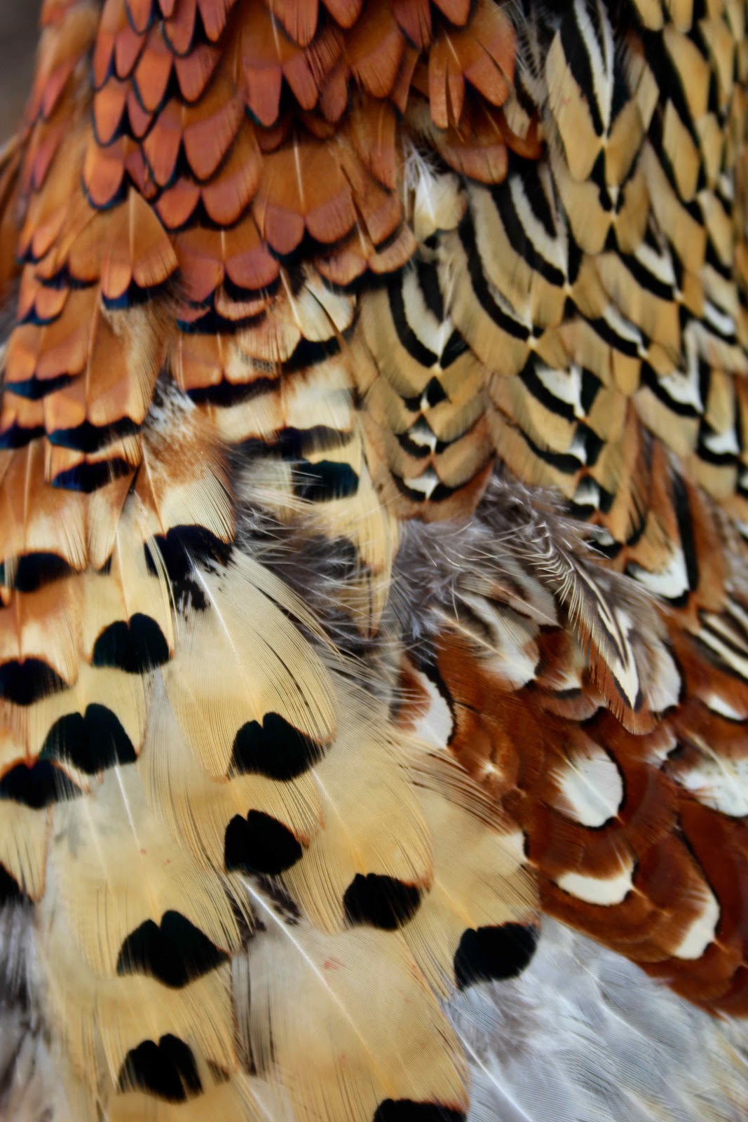
Dad and I busted out with our superstylish blaze orange hats and vests.  I tagged after Dad -- half intrigued, half appalled.  He ended up shooting four pheasants.  It was kind of cool to watch Rocko in his element (he went from a goofy puppy into a hunting machine,) and it was neat to watch Dad read the terrain and guess where the birds would be.  Meh.  Obviously, I'm not as vehemently anti-hunting as I used to be, and I definitely see the use in hunting overpopulated animals who no longer have their natural predators.  I also admire when people make a conscious choice about their food  -- I think if you're going to eat meat you should kill, clean, and cook an animal at least once.  And I understand there's a caveman drive to chase and catch your own food.  So if you're safe, responsible, and eat what you kill, more power to you.  It's just not my thing, so I'll be hanging out here on the sidelines with my tofu and patchouli.


Sunday, January 6, 2013

Three Finger Canyon

The freeeeezing cold continues (low of negative 15!,) so it was pretty tough to convince ourselves to leave the house this morning.  We sucked it up in the afternoon for a quick trip to Three Finger Canyon.  Three Finger is located along the eastern edge of the San Rafael Reef, and it’s full of bizarre diagonal rock layers and loads of petroglyphs.

The approach is as cool as the canyon itself -- the San Rafael Reef is a wall of diagonal flatiron-shaped rocks in a cacophony of color and texture.  I see it every day on my drive to work, but it's always fun to get up close and explore the nooks and crannies.

San Rafael Reef just outside Three Finger Canyon 


The petroglyphs are just inside the canyon, to your right, on blackened Navajo sandstone.  Some of the rock art is actually on the slope leading up to the overhang, so make sure you watch where you step!  Look for a small, deep alcove and some cool tafoni (that rock that erodes like swiss-cheese.)

petroglyphs
three fingers!
tafoni erosion in the sandstone 

We hiked further back into the canyon and found a bunch of crazy rocks.  There was a sketchy old mine digging into a vein of what looked like malachite and petrified wood.  Really pretty.

petrified wood with iron?

The road to Three Finger Canyon is passable for most high-clearance 2WD vehicles, but it's sort of funky to find.  Drive west along I-70 past the Hanksville exit and the San Rafael River.  Right after the river you pull off the side of interstate onto a little dirt road.  It's weird -- there's no exit or turning lane.  Drive through the underpass, and start driving south as you skirt the eastern edge of the San Rafael Reef.

Wednesday, January 2, 2013

Crystal Geyser

On the second day of Shasta's visit, we took a quick trip to check out Crystal Geyser.  Crystal Geyser is a rare example of a cold water geyser located along the banks of the Green River.  The geyser was created by an exploration well drilled in 1935 in an attempt to locate oil.  The ground water near the geyser has loads of dissolved carbon dioxide, which can create enough pressure to force groundwater to the surface in big eruptions up to 40 meters high!


Unfortunately, we didn't get to see the eruption.  Crystal Geyser is pretty unpredictable -- it can go off anywhere between every hour to 24+ hours!  Even though we weren't lucky enough to see an eruption, it was still a cool place to visit.  The area surrounding the geyser is covered in thick layers of an orange travertine mineral brought up by years of eruptions.

To get to the Crystal Geyser, take the east Green River exit (exit 164). Go south, then east (left) onto the frontage road that parallels the highway. After 2.2 miles, turn south (right) and continue 3.5 more miles to a junction. Go right, and travel about 0.5 miles to the geyser.

You can also access the geyser at the very beginning of a 3-day flatwater trip through Labyrinth Canyon like we did back in 2010.

Labyrinth Canyon kayak trip in 2012


Sunday, December 9, 2012

White Wash Sand Dunes

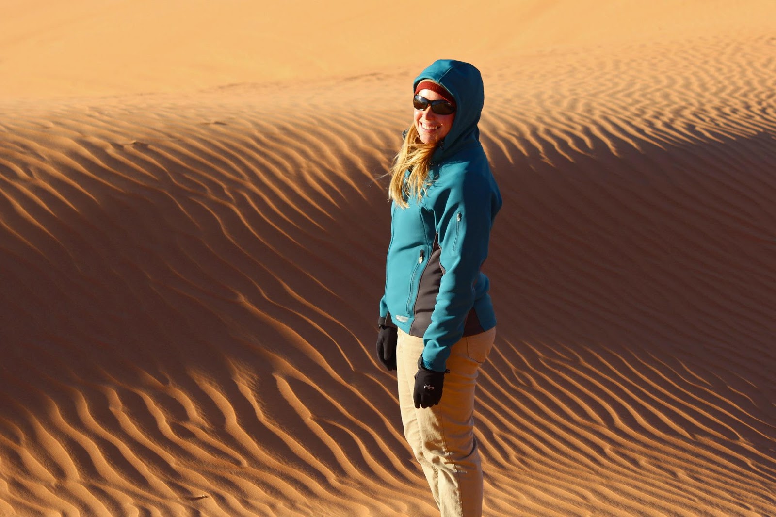
Brrr … winter is finally here!  It was windy and in the 40s, but we bundled up, hopped into the truck, and drove out to White Wash Sand Dunes Open OHV Area.  During the busy season, White Wash is swarming with ATVs and dirt bikes, but on this chilly December day, we had the place to ourselves.  The whole desert was really silent and surreal -- we hiked around orange sand dunes blown up against Entrada sandstone bluffs.  Sand dunes always remind me of scalding desert summers, so the contrast between its appearance and the icy wind was really cool.  Tenacious cottonwood trees branch out interspersed among the dunes, relying on underground pockets of water to grow.

On the drive in, we saw a studly bighorn sheep, who stared us down for a few minutes.  We found out later that the BLM installed a water guzzler for a small herd that lives east of dunes.  Sweet.


To get to Wish Wash Sand Dues, drive 13 miles east of Green River on Interstate 70 until you reach the "Floy" exit 175.  Drive south for about 12 miles, following the signs and making sure to bear rights after 4.5 miles.  Park at one of the large parking areas just west of the dunes.

Wednesday, October 31, 2012

The Big Move

Okay!  After hemming and hawing for a couple months, we finally decided to make the big move to the buzzing metropolis of Green River, UT.  I'm still working at Goblin Valley and Jordan is still at Dead Horse Point, meaning we each have an hour commute each day in opposite directions.  Driving so much sucks, but after four years living in the middle of nowhere and two years dating long distance, it'll be nice to live in town together.  If there's one things I've learned about rural Utah it's this:  civilization is relative!


Honestly, Green River (pop. 973) is pretty dumpy.  It had its heyday as a military base back in the 1960-70s when it was an annex of the U.S. Army's White Sands Missile Range.  But when the base shut down, Green River almost turned into a ghost town.  The main street is lined with boarded-up businesses and the average yearly per-capita income hovers around $11,326.  There are a few hotels for the I-70 truck/tourist traffic, but most people push on after one night.

Of course, if you look hard enough, there are some great places in town.  You can grab burgers and beers at Ray's Tavern -- a river rat mecca.  The John Wesley Powell Museum tells the history of the famous explorer and the rivers he mapped. Our new house is right along the Green River Golf Course (as you can tell by the holes in the siding.)  Swasey's Beach is a great place for a lazy Sunday swim.  The grocery store finally carries tofu ...


beers at Ray's
Ghost Buster ambulance!

But honestly, Green River's real attractions start once you leave town.  Green River State Park is the put-in for the Labyrinth Canyon flatwater trip.  Up river, there's the Green River Daily whitewater stretch.  Green River is also a great hub to explore the northern San Rafael Swell and the Book Cliffs with loads of hiking, rock art, and mountain bike trails.  Moab is only an hour away.  I hope we don't end up in Green River forever and ever, but I think we'll have a good time while we're here.  :)


Green River from Nefertiti Rapid to Swasey's Beach
Labyrinth Canyon

About Us